
Pine Mountain Settlement School
Series 12: LAND USE
Series 33: MAPS
PMSS Coal Mine Map
1914 – c. 1949
History and Map Information
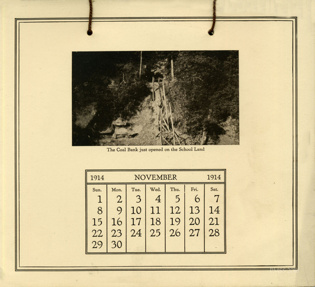
“The Coal Bank just opened on the School Land.” 1914 PMSS Calendar. November. [cale_1914_011_mod.jpg]
LAND USE PMSS Coal Mine Map
TAGS: PMSS coal mine, coal mining, coal banks, Titus Boggs, mining map, coal mining accidents, boiler furnace, coal lease agreement, Joseph Land Surveying, maps
PMSS COAL MINE History
The Coal Mine at Pine Mountain Settlement School was opened in 1914. At that time it was called the “Coal Bank,” a term often used in the community for the mining of coal from the many soil banks where seams of coal were exposed and easily dug for fuel.
At the School, most of the “Banks” were located on slopes other than those of Pine Mountain which was located on the north side of the campus. There, the coal seam is geologically tilted deep into the mountain and does not lend itself to mining. The Coal Bank, located on the south side of the campus, served the needs of the School mainly during the Boarding School years. The directors often contracted with individuals in the community to mine the seam for the School’s boiler furnace needs.
Coal mining was a dangerous operation. The death of a Pine Mountain School coal miner in the School mine in the late 1930s was a tragic incident, signalling coal mining was indeed dangerous and was also outside the scope of the institution to manage internally. In later years, the coal needs were satisfied by contracting with local mining operations or coal leases through nearby properties. See the Coal Lease Agreement 1944 for information regarding one of the methods of maintaining a coal supply for the School.
More recently, the boiler furnaces have been replaced by more contemporary heat sources and now the School depends largely on electrical power or gas to run furnace operations.
JOSEPH LAND SURVEYING Map of Area Mines, 2000
December 22, 2000, PMSS Director Robin Lambert requested from Joseph Land Surveying a certified map of the mines in the vicinity of Pine Mountain (Nolansburg Quadrangle). The map shows the perimeter of the Pine Mountain Settlement School Incorporated, including the following tracts:
D.B 27, Pg. 632
D.B. 33, Pg. 439
D.B. 134, Pg. 426
D.B. 141, Pg. 491
D.B. 180, Pg. 79
D.B.206, Pg. 407
MAP Note:
1.) This is a class B Survey and meets or exceeds the precision requirements of this classification. 2.)The mathematical error of closure exceeds the minimum standards of i : 5000 3.) I.P Set refers to a 1/2″ x 18″ rebar, with a plastic identifier cap stamped – Joseph Surveys P.L.S. 3223, or as noted on the plat.
JOSEPH LAND SURVEYING Map of PMSS Coal Mine, 2000
The following Map completed by Joseph Land Surveying employee Darrell E. Joseph, (KY P.L.S.#3223, Hyden, KY) shows the location of the PMSS mine in relation to contiguous properties. The PROJECT of the map was to survey the North and the East Boundaries of the Pine Mountain Settlement School, and the ISAAC’S CREEK PROPERTIES. The MAP was prepared for Robin Lambert, Director and was part of the LANDS UNSUITABLE FOR MINING Petition that the School pursued in 2000.
[IMAGE TO BE ADDED]
GALLERY
-
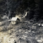
- House with family owned coal mine behind it. [mccullough_III_095a]
-
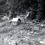
- House with coal mine behind it. [047_IV_FN_01a_008]
-
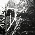
- PMSS School Coal Mine [tipple]. [nace_1_015c.jpg]
See Also:
LAND USE Coal Mine at PMSS Draft Lease Agreement 1944
LAND USE Lands Unsuitable for Mining Petition 2001
Return To:
LAND USE Guide
LAND USE MAPS Guide